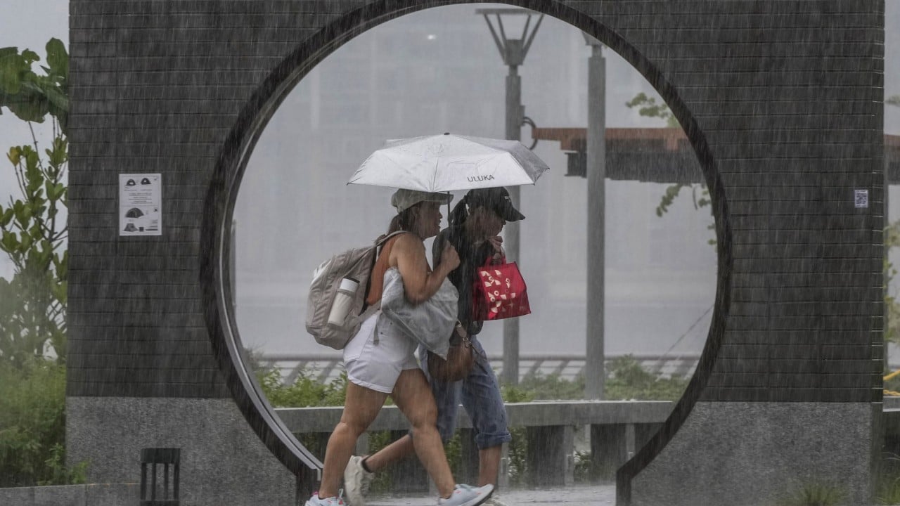
The sky over Hong Kong has turned a bruised, heavy purple, signaling more than just a typical seasonal shift. While basic news tickers warn of "cloudy skies and showers," the reality on the ground is far more aggressive. An Amber Rainstorm Warning is already in effect as of early May 2026, punctuated by a rare hail warning and gusts clocking in at 90 kilometers per hour. This is not the gentle onset of summer. It is a violent atmospheric collision between a surging cold front and a saturated subtropical air mass.
For a city built on the vertical, the threat isn't just getting wet. The threat is the sheer volume of water—nearly 300mm expected this month alone—colliding with an aging urban drainage system and a warming climate that makes every drop count for more.
The Invisible War Beneath the Concrete
Most residents see the rain as a logistical headache, a reason to scramble for a taxi or endure the humidity of the MTR. But beneath the streets of Tsim Sha Tsui and Central, a massive engineering battle is being waged. Hong Kong possesses some of the most sophisticated flood prevention infrastructure in the world, including massive underground storage tanks and drainage tunnels that divert water directly into the sea.
Yet, the math is changing. We are currently seeing a trend where "100-year storms" are appearing with the frequency of a biennial event. The Hong Kong Observatory (HKO) has noted that global warming isn't just increasing the temperature; it is supercharging the moisture capacity of the atmosphere. Every degree of warming allows the air to hold roughly 7 percent more water vapor. When that air hits the high-pressure system currently sweeping across Guangdong, the result isn't a "shower." It is a structural stress test for a city of seven million.
The recent hail warning is a particularly sharp indicator. Hail requires intense updrafts usually reserved for the peak of typhoon season, yet here we are in the first week of May, advising citizens to seek immediate shelter from ice falling at terminal velocity.
Why the Forecast Matters for the Bottom Line
The economic fallout of these "coming days" of rain is rarely discussed in the context of a simple weather report. When the HKO raises an Amber or Black signal, the city doesn't just slow down; it hemorrhages productivity.
- Logistics Paralysis: The Kwai Tsing Container Terminals, a vital artery for global trade, must adjust operations for wind gusts exceeding 70-90 km/h.
- Infrastructure Erosion: The persistent rain triggers landslides in the New Territories, where the steep terrain remains a perpetual hazard despite decades of slope stabilization.
- Consumer Contraction: Retail and food and beverage sectors, already fighting for recovery, see foot traffic vanish the moment the first lightning bolt hits the radar.
While the government has invested billions in the Drainage Services Department (DSD), the "protection zones" are being pushed to their limits. In older districts like Mong Kok, the pipes are a legacy of a different era. They were designed for the rainfall patterns of the 1980s, not the torrential bursts of 2026.
The Technological Shield
The HKO is no longer just using balloons and radar. They are deploying AI-driven "nowcasting" models that attempt to predict rainfall patterns down to the square kilometer. This technology is the only reason the city avoids total chaos. By providing lead times on the Amber and Red signals, they allow the MTR to deploy flood boards and the airport to reshuffle arrivals.
However, technology has a ceiling. No amount of data can stop a "squall line"—a narrow band of high-intensity thunderstorms—from dumping 50mm of rain in sixty minutes. When that happens, the city's "sponge" capacity is overwhelmed.
Survival in the Vertical Jungle
Living through a Hong Kong May requires a shift in mindset. This isn't about carrying an umbrella; it's about tactical awareness.
- The High-Ground Fallacy: Underground MTR stations are statistically more at risk than highways during extreme events. If the water has nowhere to go on the surface, it follows gravity.
- The Gust Factor: At 90 km/h, rain becomes a projectile. Modern glass towers are built to sway, but the debris from construction sites and older tenement buildings is not.
- The Temperature Trap: The incoming cold front will drop temperatures to 20°C by Monday morning. In a city where air conditioning is often set to "Arctic," the risk of respiratory strain is real and immediate.
The coming week is a preview of the new normal. We are witnessing the breakdown of predictable seasonality. The "rainy season" is evolving into a series of flash-point events that demand more than just a passing glance at a weather app. It demands an understanding that in a city of concrete and glass, water is the only force that consistently wins.
Monitor the signals. Respect the gusts. Don't assume the drainage will hold.